
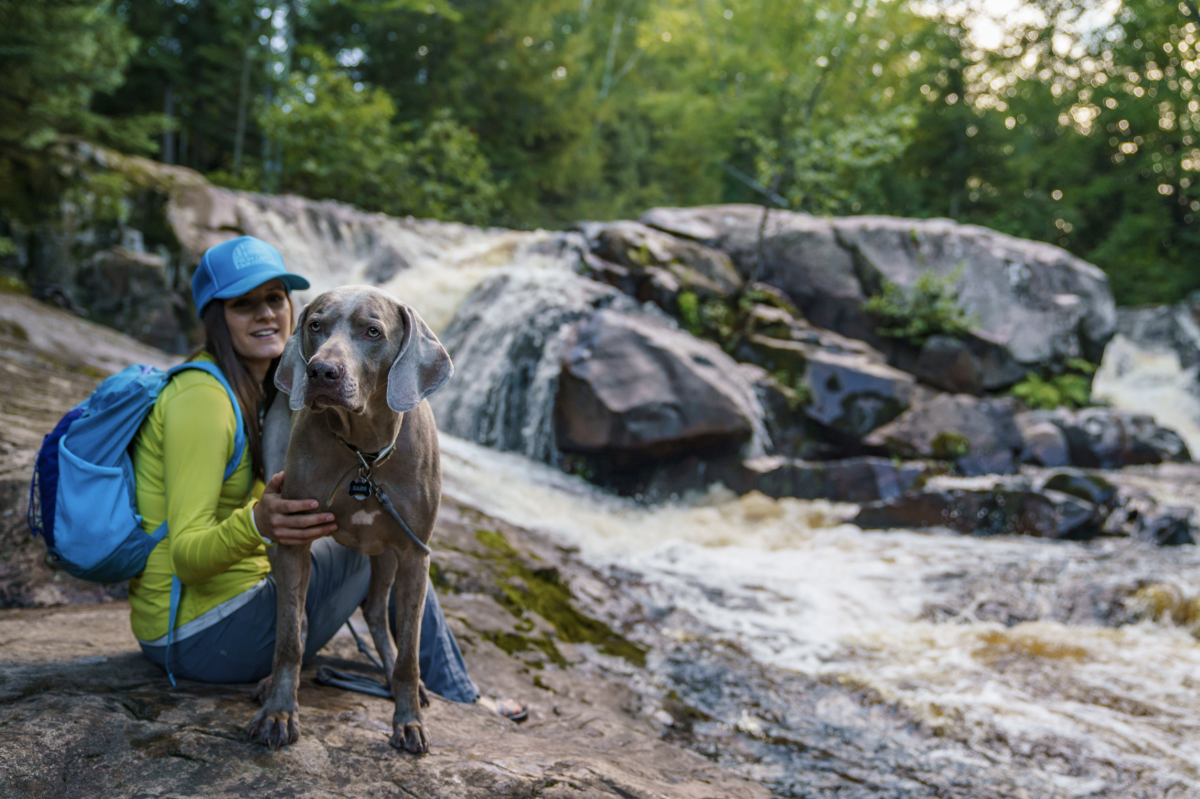
Between the initial snowmelt and increased rainfall, springtime is prime time for chasing waterfalls. However, seasonal trail and road conditions can make some spots tougher to get to, so we've highlighted some of our favorites that offer easier access.
WRIGHT STREET FALLS ✦
DRIVE 4 MI, 10 MIN » 46.56588, -87.44576
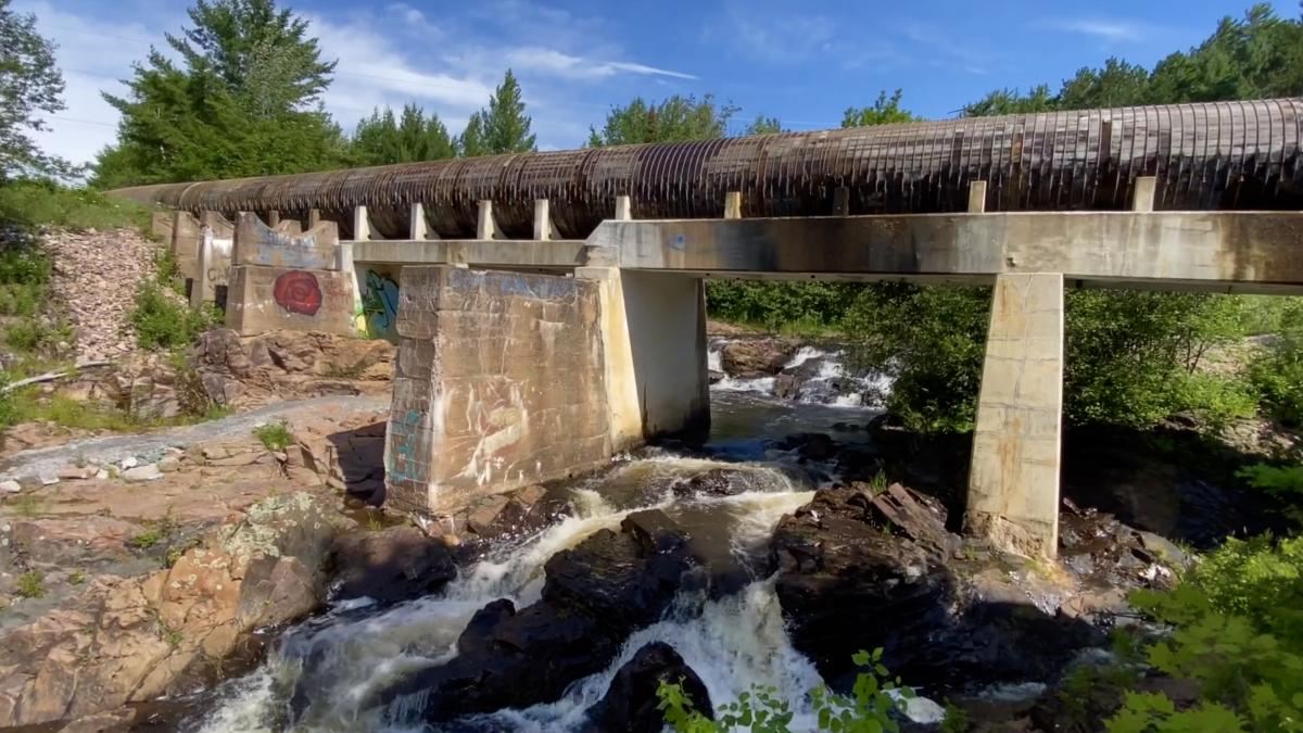
Among the easiest to access is Wright Street Falls. This unique spot is both urban and natural. Park in the parking lot on the right side of Wright Street and it's a short stroll across the boardwalk to reach the falls.
Directions starting from Travel Marquette:
-
Head west on W Washington St toward N 4th St (1,145 ft)
-
Turn right onto N 4th St which becomes Presque Isle Ave (1.4 mi)
-
Turn left onto Wright St (2.29 mi)
-
Park on the right side of Wright St, walk over the bridge and up a short path to the falls under the aqueduct (450 ft)
CATARACT DAM FALLS ✦
DRIVE 25 MI, 35 MIN » 46.43333, -87.59888
Located in Sands, just outside of Gwinn, you'll be surprisingly impressed by the falls that cascade from this man-made dam.
Directions starting from Travel Marquette:
-
Head West on Washington St. (1.3 mi) (6.52 mi)
-
Turn left onto McClellan Ave/M-553 (18 mi)
-
Turn right onto N Southgate Dr/Iron St/M-35 N (4.7 mi)
-
Turn right onto Cataract Rd (1.38 mi)
-
Slight left onto Co Rd EEF (0.250 mi)
-
Park at the dam, the trailhead is to your right to the falls
YELLOW DOG RIVER FALLS ✦
DRIVE 43 MI, 32 MIN » 46.72863, -87.70672
Named for the main drop on the Yellow Dog River, these falls are as fun to hike to as they are to watch—featuring over 7 drops of varying distance within a mere mile-long walk.
Directions starting from Travel Marquette:
-
Head N on N Front St (0.925 mi)
-
Turn right onto E Fair Ave (761 ft)
-
Turn left onto Pine St (0.322 mi)
-
Turn left onto N Lakeshore Blvd (0.759 mi)
-
Turn left onto Hawley St (0.650 mi)
-
Hawley becomes Big Bay Rd/Co Rd 550 (22.6 mi) → Turn left onto Co Rd 510 (2.6 mi)
-
After 2.6 miles you’ll turn left off the paved road onto the dirt portion of County Road 510 which heads SE. (4.1 mi)
-
Cross the Yellow Dog River. Park on the left and walk NE along the river to the falls (.35 mi)
LAUGHING WHITEFISH FALLS ✦
DRIVE 26 MI, 32 MIN » 46.38383, -87.06847
About 25 miles outside of Marquette, this unique waterfall is located in Laughing Whitefish State Park near the small town of Chatham. Watch the water cascade down a 100-foot rock slide from multiple viewing platforms.
Directions starting from Travel Marquette:
-
Go South on Front St and stay on it as it turns into US41 (16.6 mi).
-
Turn left M-94 E (6.35 mi).
-
Turn left Co Hwy 327 (2.32 mi).
-
Co Hwy 327 turns right and becomes Laughing Whitefish Falls Rd (0. 429 mi).
|
DIFFICULTY KEY: ✦ EASY | ✦ ✦ MEDIUM |✦ ✦ ✦ HARD |

Spring Trail Etiquette
Before adventuring, check out these Leave No Trace guidelines to be a more responsible steward of our outdoor spaces this spring. Read More
